As a wee sprout, I was raised on tales of my dad fishing in the mighty Thornapple River.
My dad spent many of his formative years under the wing of his uncle Wheeler. They made many road trips to fish the Thornapple. Fishing was serious business. It put food on the table. It was also fun.
Little did I know that the Thornapple river had its origins fairly close to Lansing (where I grew up) and VERY close to where I now live.
This project has been simmering on the back burner for a while. Today I grabbed a coffee drinking buddy, Onondaga, and we went road tripping.
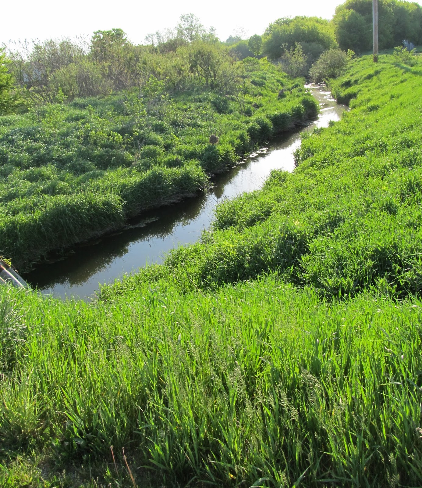
Perkey Road
 |
| The headwaters of the mighty Thornapple River on Perkey Road. The shadows are long because it is about 7:30 AM. |
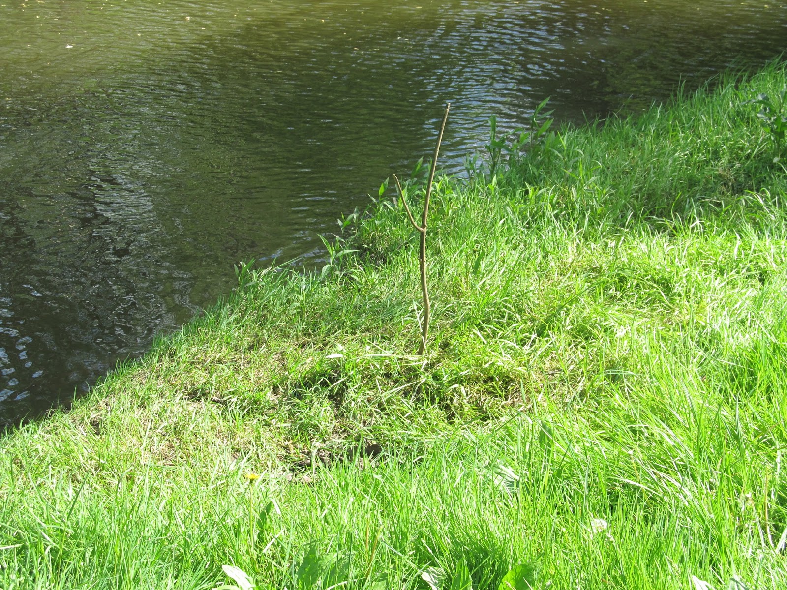
 |
| About as much water as you would expect out of a garden hose. |
In Eaton County the East-West roads are called "Highways" and the North-South roads are called "Roads".
M-50
 |
| 1.04 miles from the headwaters as the crow flies (ATCF) |
Bell Highway
 |
| 1.32 miles ATCF |
South Royston Road
 |
| 2.65 miles ATCF |
Island Highway
 |
| 2.88 miles ATCF |
Kinsel Highway
 |
| 4.47 miles ATCF |
 |
| Onondaga thought this 1973 Super Beetle was in great shape. I wonder if Kubota....after all, orange is the new black. |
North Royston Highway
 |
| The corn is up. |
 |
| This was a difficult bridge to get a good photo of. 4.75 miles ATCF |
M-100
 |
| 4.77 miles ATCF from the headwaters but a mile west of the previous bridge. |
Shance Highway
 |
| 4.92 miles ATCF. Probably 10 miles by river. |
Lansing Road
 |
| 5.2 miles ATCF |
Stewart Road
 |
| OK, I get it. This is not a photo of a bridge. It is a photo FROM the bridge. 5.49 miles ATCF |
East Vermontville Highway
 |
| 5.94 miles ATCF |
East Gresham Highway
 |
| Onondaga standing on the bridge for a sense of scale. 6.87 miles ATCF. |
Otto Road
 |
| The next series of bridges are very close to a mile apart as the Thornapple runs almost due west. |
Benton Road
 |
| There are groves of pawpaw trees near here. That is an indicator of Native American settlement. |
 |
| Somebody made the guardrail pretty. |
 |
| Onondaga swore that he saw a loon, so I took a photo where he said he saw it. |
Cochran Road
 |
| Cochran divides the east and west halves of Eaton County. |
Wheaton Road
Moyer Road
Mulliken Road
 |
| This house was on Mulliken Road north of the river. I took a picture of it because Onondaga likes stone houses. If you zoom in you can see some interesting vertical, cut stone details. |
M-50
 |
| It is now a little bit wider than at the headwaters, 12.33 miles away ATCF |
 |
| Nice trailers. I guess I am losing focus. |
 |
| One reason the Thornapple River grows in size so quickly is because it is fed by many, many tributaries. This is the three mile run below M-50 and I count 12 small, feeder streams. |
West Gresham Highway
 |
| An Amish Schoolhouse. |
 |
| No parking lot but lots of places for bikes. |
 |
| Beehives!!!! Amish may wear black but their beehives are all the colors of the rainbow. |
West Vermontville Highway
 |
| This bridge is dedicated to Commander Ellis E. Austin, USN MIA 21 April, 1966. There was an American flag atop this plaque but I chopped it off. |
 |
| Wood Ducks gorge on Silver Maple seeds this time of year. |
Shaytown Road
 |
| Shaytown Road is a two-fer. There is the road bridge and a hundred yards downstream is a railroad bridge that I did not see but Onondaga saw. |
 |
| White violets. |
Ionia Road
 |
| In Memory of Army Spc 5 Jeffrey N. Duffey KIA DEC 13 1971 |
 |
| Evidence of good fishing. And maybe a little huggin-and-kissin. |
Mason Road
 |
| Looks like good fishing here. The water is deep and there is a slight back-eddy close to shore. |
M-66
 |
| 17.7 miles ATCF from the headwaters. Technically, this is just west of the Eaton-Barry county line. The truck gives you a sense of scale for how wide the river is at this point. We finished about 10:45 AM. |


Great pics and quite the variety of bridges there!
ReplyDeleteI really like the memorial plaques. I don't know if that was a VFW activity or done at the State-of-Michigan level.
DeleteSomebody is keeping the flags on the M-50 bridge fresh. They looked new.
Just think of the tourist revenue if the powers that be turned some of the smaller bridges into covered bridges instead of culverts and concrete. Convert rather than replace as in adding some wooden planks and paint would be cheap enough.
ReplyDelete