Becoming lost
The best way to avoid becoming lost is to become adept at keeping track of where you are.
There are two basic choices in how one gives or processes directions.
One choice is local coordinates
For example:
Turn left at the high school. Turn right at the Subway. Stay to the right at the third light. Go straight at Canal Road. Turn left after the Petrieville curves. Turn left after the orange brick house. Turn into the driveway after all the rose bushes.
Assumptions and opportunity for error abound.
The original direction of travel makes a huge difference. If the traveler is starting from a different parking lot then they might quickly drive off the "map".
Subway sandwich or subway means-of-conveyance? Not much of dilemma in Eaton Rapids but it could be elsewhere.
Does one count the light where one turned right (at Subway) or not? What if one of them is out? What if a new one is installed after the directions are given?
Go straight: Does that mean I stay on my current road as it bends slightly to the right, or do I take the little whoopsie-do to get to the road that is actually closer to my original line of travel?
Petrieville curves are not labeled. It is a local name. This instruction will mean nothing to somebody who is new to the area.
Colors are poor adjectives when 10% of American males are red/green colorblind. Even for people who are not colorblind, when does orange become red or brown?
Roses? Are you kidding? What if they are not in bloom. Many people have roses in their yard. What if I blink?
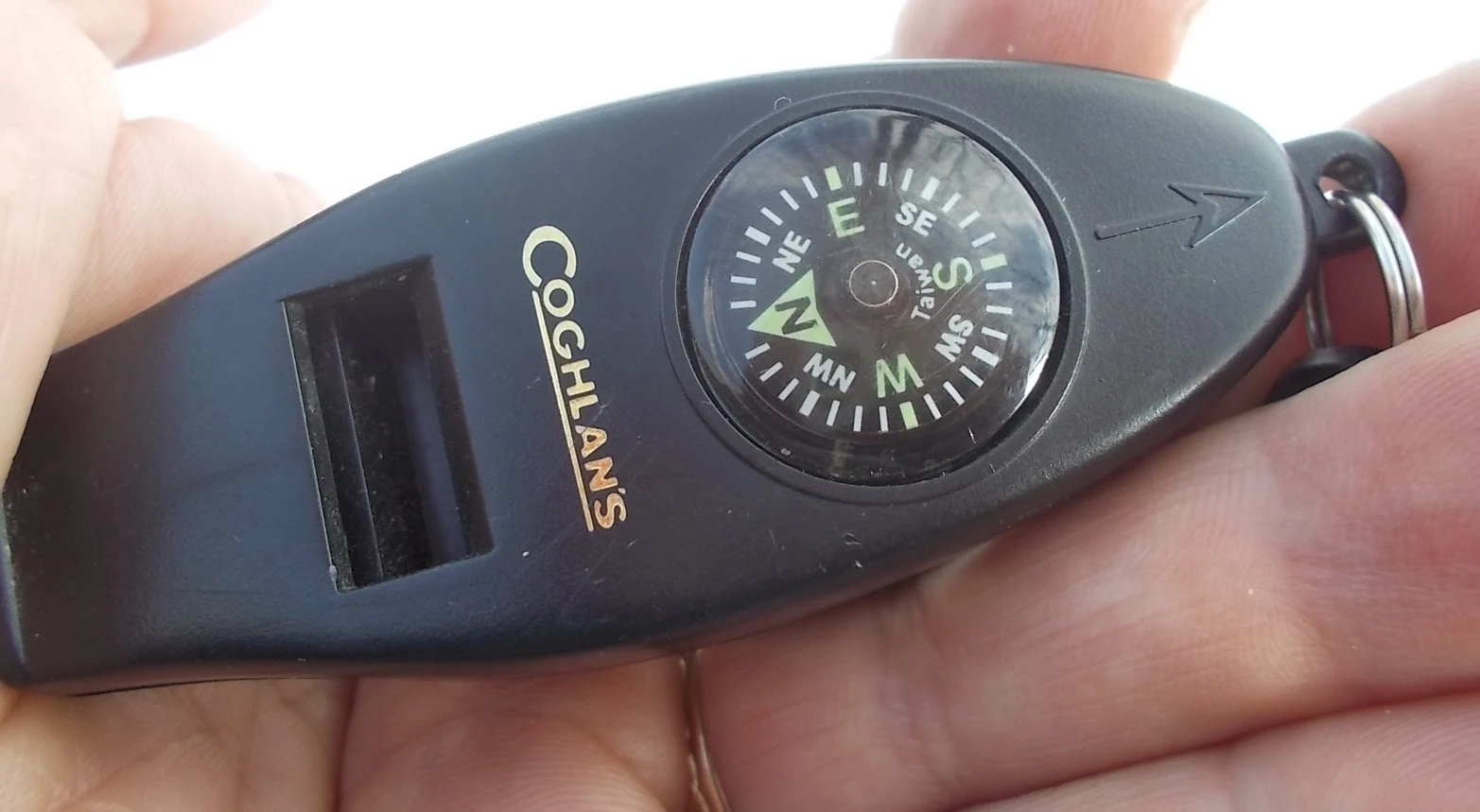
Global coordinates
Start at the High School.
Drive 0.5 miles west on State Street.
Turn north on to M-99 and drive 0.7 miles to Canal Road.
Turn north on to Canal Road and proceed another 2.5 miles.
Turn west on to Bentley Highway and go one mile to 5678 Bentley Hwy.
Comparison
Global coordinates are more error tolerant. Got lost? You have an intersection to look for and you can reset.
Local coordinates are easier for the person giving the directions. Local coordinates are how we navigate as we plod through our day on cruise control. It is easy to give directions as local coordinates because it is a simple, unprocessed brain dump.
Mental Illness
I believe that one can gain resilience to Mental Illness by making a habit of navigating our lives by "Global Coordinates". Concrete examples might include:
- How does that square with The Bible (or other Holy Book)
- Does this square with the Ten Commandments?
- Would I consider myself ill-used if our positions were reversed?
- How will that impact those closest to me?
- Does this violate the Constitution?
- Would this be viable if everybody did it?
- Will I be proud of myself ten years from now?
Examples of "local coordinates"might be:
- What is the easiest, most expedient course of action?
- The boss said to do it and that absolves me of thinking
- Everybody is already doing it
- What will give me advantage, even if it is only temporary
Hybrid systems
Realistically, most of us live in a world where we must do our boss's bidding. We live in a world where it is sometimes necessary to make accommodations and bow to the expedient as a simple matter of getting through a tough time.
A hybrid system involves keeping two, parallel sets of directions. The "local system" is used to navigate through our lives on a day-by-day basis. The local system is kept in harmony with the global system by a frequent recalibration to the master global system.
The practitioner exercises the maximum amount of latitude in "style" when executing the boss's dictates. They bend the local system as close to the global as possible. This could be the cop who writes up speeders who driving more than 10 mph over the limit or enforces speed limits to-the-letter when conditions are slippery.
Maintaining a viable "global" awareness also provides the restart capability when the map starts to bend and directions don't quite line up. It can save your sanity. You can step back and realize that a coworker is a loon, or the task you were given was a suicide mission, or your company is tanking. You have the means to strike off on your own, cross country, to find your home by way of dead reckoning.

No comments:
Post a Comment
Readers who are willing to comment make this a better blog. Civil dialog is a valuable thing.